por Ángela | Ago 26, 2024 | Energy
We all know that solar energy is a global trend and is constantly growing. But this is not why companies in the sector should neglect their marketing and sales strategy and think that they are going to be successful in any area. Therefore, to optimize resources it is...
por Yeli Peña | Jun 6, 2023 | Energy
We all know that solar energy is a global trend and is constantly growing. But this is not why companies in the sector should neglect their marketing and sales strategy and think that they are going to be successful in any area. Therefore, to optimize resources it is...
por Ángela | Mar 23, 2022 | Energy
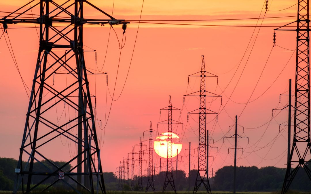
Currently, more than 5,000 satellites orbit the earth, a large part of which are intended for earth observation (EO). Power companies allocate a large part of their budget each year to reviewing, managing, and maintaining their power lines. Among these recurrent...