
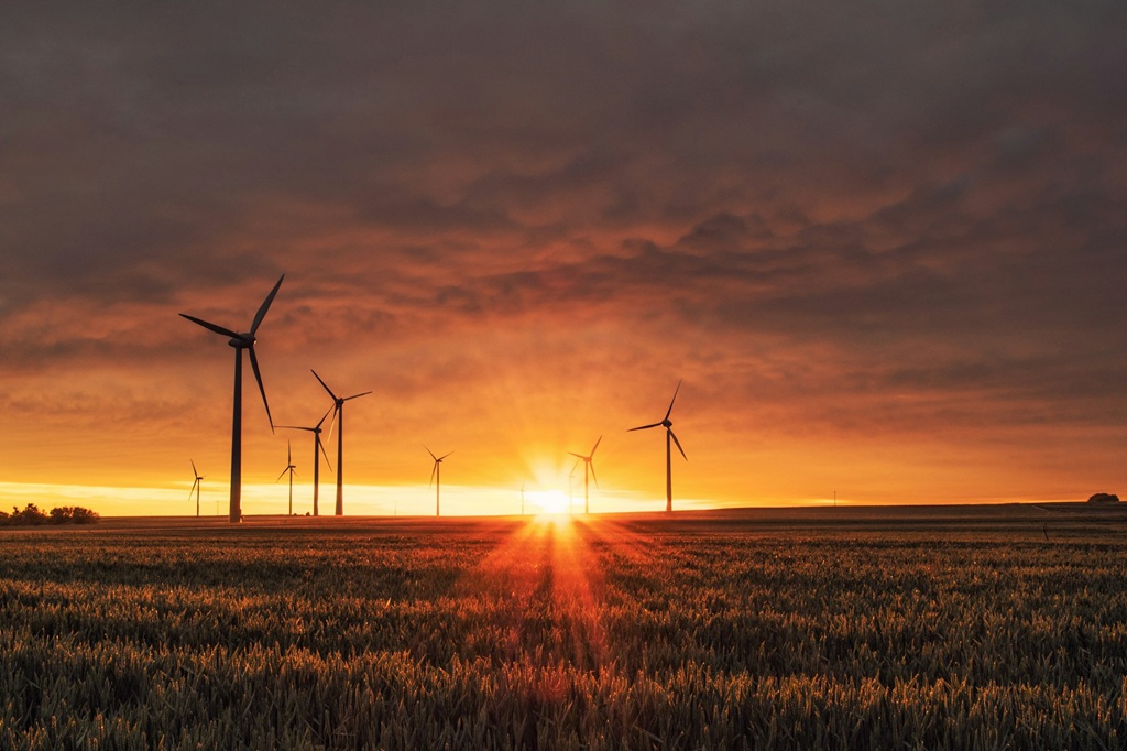
Why does location matter so much in a wind farm?
Every turbine, access road, and cable has a cost. But those costs aren’t the same across all terrains or under all conditions. A poorly chosen site can multiply the initial budget by requiring earthworks, complex access routes, or special foundations. It can also complicate long-term maintenance, increasing the cost of each intervention and reducing asset availability.
Terrain analysis: the first step toward efficiency
Topography and accessibility shape everything from transport logistics to turbine placement. A detailed analysis of relief, existing access, slopes, and soil stability helps anticipate construction needs that would otherwise demand heavy investment.
Thanks to technologies like Imageryst, this analysis can be carried out with up-to-date data from anywhere, without prior site visits.
With remote sensing and digital terrain models, it is possible to:
- Identify areas with excessive slopes that would complicate foundations.
- Assess the need for auxiliary roads or reinforced access.
- Anticipate erosion risk zones or areas prone to water accumulation.
Avoiding these surprises from the outset means saving substantial sums in civil works.
Take a look at this webinar to learn more.
Design optimization to reduce earthworks
Once the land is selected, a detailed assessment enables a more efficient park layout: placing turbines to minimize earthworks, shorten internal road lengths, and simplify electrical connections. This not only cuts construction costs but also shortens project timelines.
Imageryst lets you overlay layers such as terrain, vegetation, water bodies, and existing infrastructure on interactive maps, making design decisions more informed and collaborative.
Fewer surprises during construction
One of the biggest threats to profitability in wind projects is cost overruns caused by schedule slippage. The most common causes include access issues, misestimated weather conditions, or planning errors.
With Imageryst’s construction-monitoring system, you can:
- Track construction progress visually and objectively with high-resolution satellite imagery.
- Detect deviations from the planned schedule before they escalate.
- Generate automatic reports for stakeholders and unlock financing as key milestones are reached.
This reduces the need for on-site visits, speeds up decision-making, and prevents delays that translate into major financial losses.
You can watch a free webinar that dives deeper into all of this.
Reducing maintenance costs
Wind farms are often located in remote environments, which makes any technical intervention more expensive. That’s why robust preventive maintenance planning based on geospatial data is essential.
The Imageryst platform helps you:
- Identify critical points with difficult access or dense vegetation that could hinder repairs.
- Detect early signs of degradation in blades, structures, or access roads.
- Optimize maintenance routes by grouping interventions by risk zone or priority.
This avoids reactive maintenance and lowers logistics and labor costs.
Regulatory compliance and environmental risk reduction
Sites that fail to comply with environmental regulations (such as the EUDR) can lead to penalties or project stoppages. From the first analysis, it is crucial to identify protected zones, sensitive habitats, or flood-prone areas.
Imageryst enables you to:
- Access land-use histories to spot relevant changes.
- Evaluate environmental impact with time-comparable satellite data.
- Generate reports that streamline permit processing and environmental audits.
Beyond ensuring the project’s legal viability, this helps avoid costs associated with litigation or late corrective measures.
Cutting construction and maintenance costs in wind farms isn’t just about buying cheaper or tightening schedules. It starts much earlier, with a strategic decision: choosing the right place to build. For that, satellite data and geospatial analysis have become indispensable allies.
At Imageryst, we offer an intuitive platform that puts the power of satellite imagery in the hands of development, engineering, and operations teams. From terrain analysis to predictive maintenance, we enable faster, smarter, and more profitable decisions.
Request a free demo and discover how we can help you optimize every stage of your wind project.