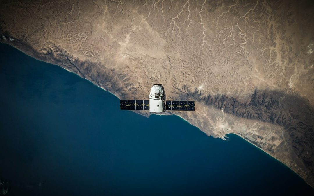
por Ángela | Nov 1, 2022 | Imagery
Some of the utilities that satellite imagery can provide through imagery are the monitoring of the consequences of climate change, such as wildfire or floods, droughts and land use tracking. Additionally, they provide solutions for vegetation levels assessment and...
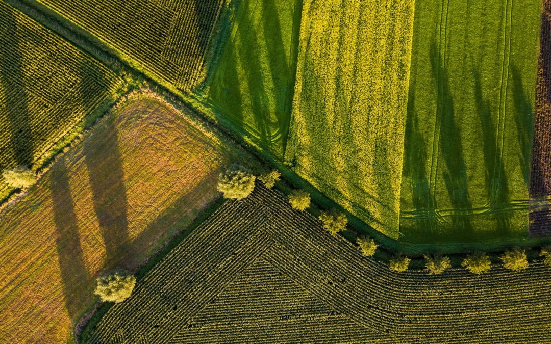
por Ángela | Jun 16, 2022 | Natural resources
Earth Observation (EO) and geospatial data have brought many benefits to agriculture. But what is fascinating is how satellites and government initiatives, such as the European Copernicus program, a program formed by the European Space Agency (ESA), have...

por Ángela | Abr 7, 2022 | Imageryst
It is Tech month in Miami! For the entire month of April, eMerge Americas 2022 is transforming Miami into the global focal point of all things technological by teaming up and partnering with businesses and industries of different sectors and backgrounds. There will be...
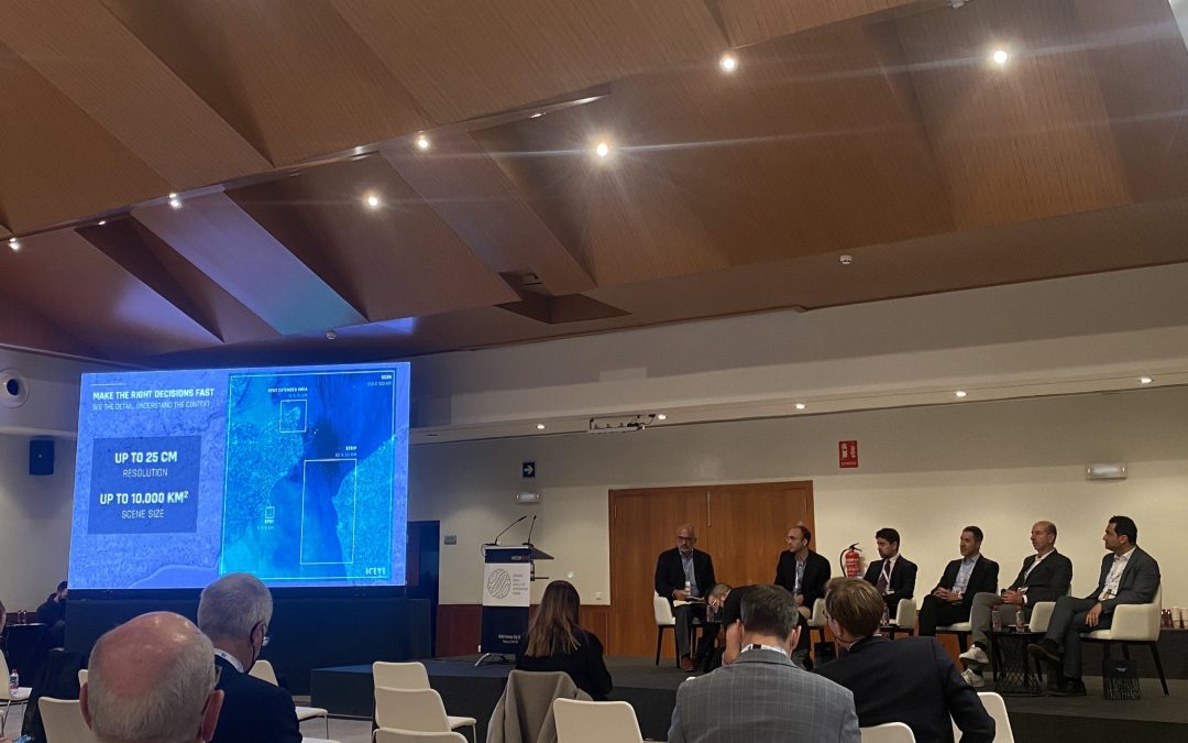
por Ángela | Mar 23, 2022 | Imageryst
The third edition of Spanish Small Satellites International Forum (SSSIF 2022), a key international workshop that brings together all the agents of the sector, such as designers, technicians, scientists, suppliers, developers and launchers, opened its doors last...
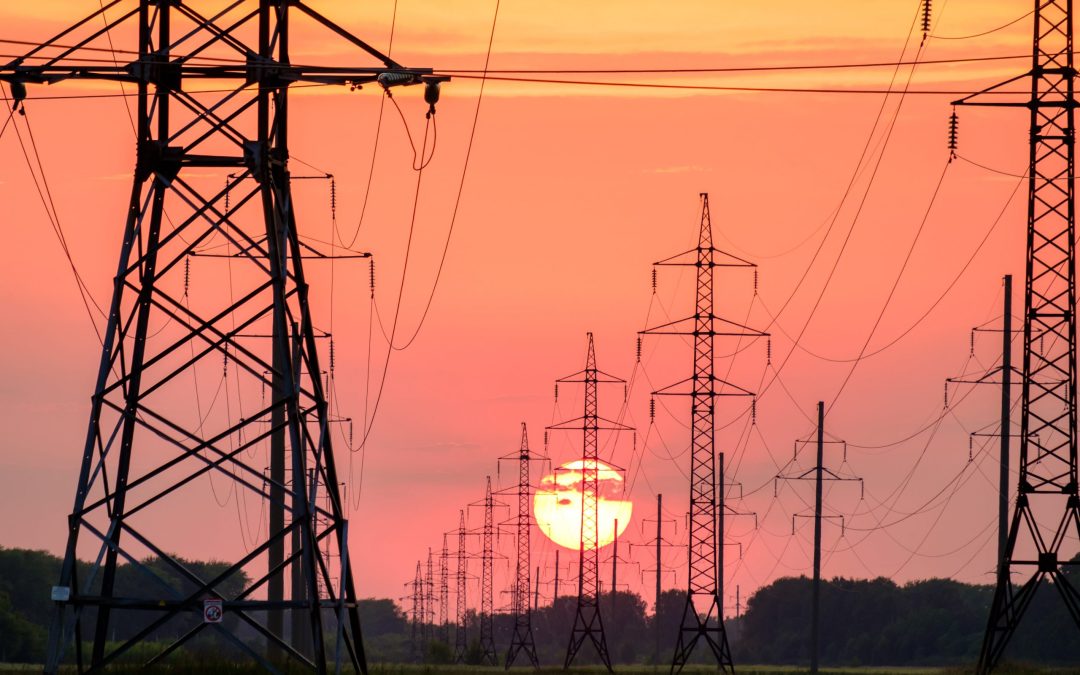
por Ángela | Mar 23, 2022 | Energy
Currently, more than 5,000 satellites orbit the earth, a large part of which are intended for earth observation (EO). Power companies allocate a large part of their budget each year to reviewing, managing, and maintaining their power lines. Among these recurrent...