• Land Analysis Core
  • Use Cases
    • Land Analysis
    • Work Monitoring
    • Asset Protection
    • Environmental Impact
    • Asset Maintenance
  • Product
    • Platform & API
  • About us
  • Academy
  • Blog
LOG IN
Request demo
Drone images vs satellites images for earth observation

Drone images vs satellites images for earth observation

by Ángela | Nov 23, 2022 | Earth Observation, Imagery

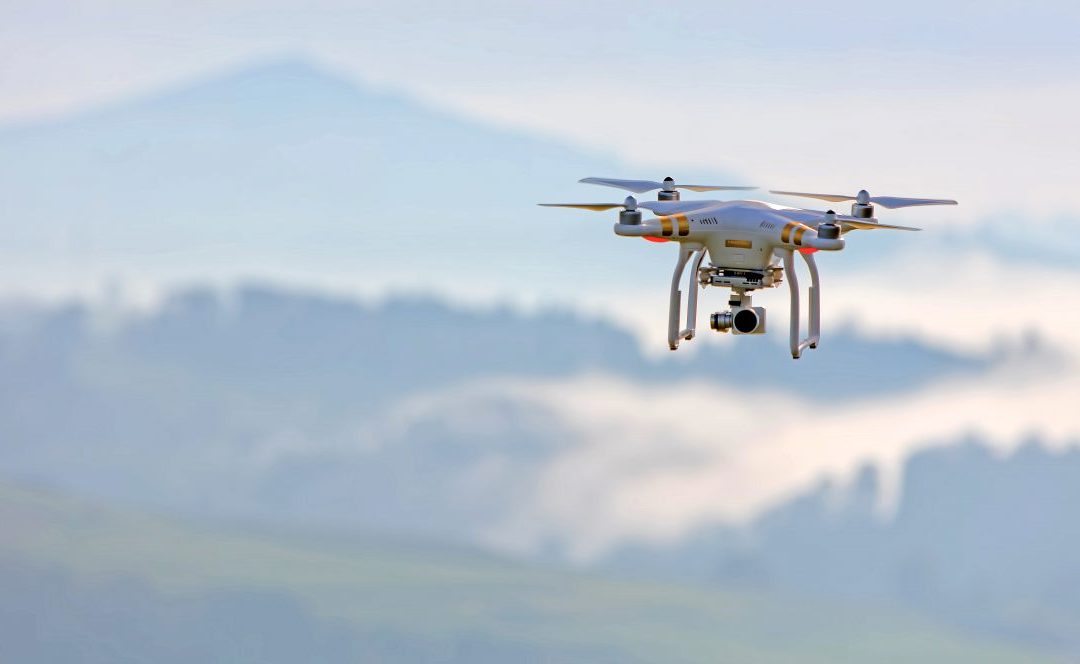
Many industries need detailed earth observation data and geolocated data to function. There are several ways these businesses use technology to get this data. The two main ways to collect earth observation data today are by utilising either drone imagery or satellite...
7 free satellite imagery providers for geospatial analysis

7 free satellite imagery providers for geospatial analysis

by Ángela | Nov 1, 2022 | Imagery

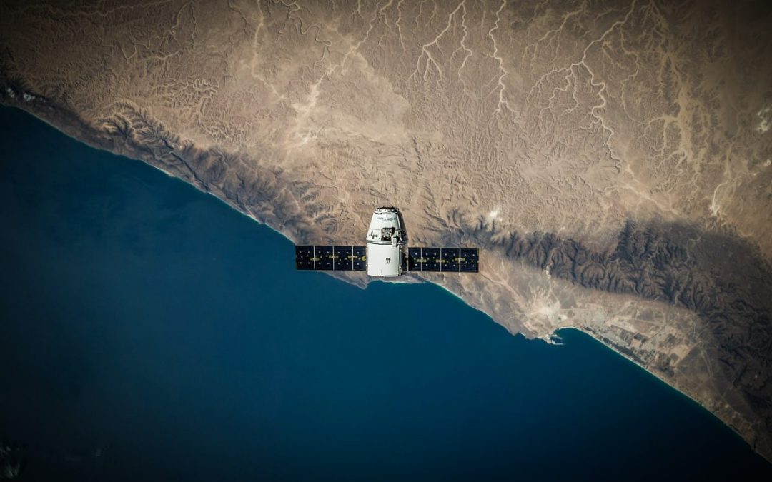
Some of the utilities that satellite imagery can provide through imagery are the monitoring of the consequences of climate change, such as wildfire or floods, droughts and land use tracking. Additionally, they provide solutions for vegetation levels assessment and...

Recent Posts

  • How the right location reduces construction and maintenance costs for wind farms
  • 10 keys to site selection for solar parks
  • Investing in talent, driving innovation: Imageryst receives support from the Investigo program
  • Energy sector leaders you should be following
  • How satellite data supports energy decarbonization

Recent Comments

No comments to show.