• Land Analysis Core
  • Use Cases
    • Land Analysis
    • Work Monitoring
    • Asset Protection
    • Environmental Impact
    • Asset Maintenance
  • Product
    • Platform & API
  • About us
  • Academy
  • Blog
LOG IN
Request demo
CO2 monitoring using high-resolution satellite images

CO2 monitoring using high-resolution satellite images

by Ángela | Jan 23, 2023 | Earth Observation, Natural resources

The main battle for the future of the planet is being fought in the atmosphere. It is not science fiction, but a palpable reality if we think about the effects of climate change that we are already suffering. To be victorious, we need resources for CO2 monitoring. For...
Drone images vs satellites images for earth observation

Drone images vs satellites images for earth observation

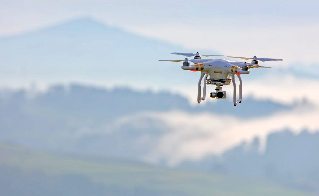
by Ángela | Nov 23, 2022 | Earth Observation, Imagery

Many industries need detailed earth observation data and geolocated data to function. There are several ways these businesses use technology to get this data. The two main ways to collect earth observation data today are by utilising either drone imagery or satellite...
Top 10 twitter accounts you should follow for learning about and being up-to-date with earth observation

Top 10 twitter accounts you should follow for learning about and being up-to-date with earth observation

by Ángela | Nov 23, 2022 | Earth Observation

Changes on Earth so often happen unexpectedly, and we must be prepared for them. That is why Earth observation facilities are growing at an unprecedented rate. The space sector provides essential services for the society in the field of communications such as...

Recent Posts

  • How the right location reduces construction and maintenance costs for wind farms
  • 10 keys to site selection for solar parks
  • Investing in talent, driving innovation: Imageryst receives support from the Investigo program
  • Energy sector leaders you should be following
  • How satellite data supports energy decarbonization

Recent Comments

No comments to show.