• Land Analysis Core
  • Use Cases
    • Land Analysis
    • Work Monitoring
    • Asset Protection
    • Environmental Impact
    • Asset Maintenance
  • Product
    • Platform & API
  • About us
  • Academy
  • Blog
LOG IN
Request demo
How Satellite Imagery Helps Ensure EUDR Compliance

How Satellite Imagery Helps Ensure EUDR Compliance

by Yeli Peña | Oct 21, 2024 | Imageryst, Natural resources, Regulations

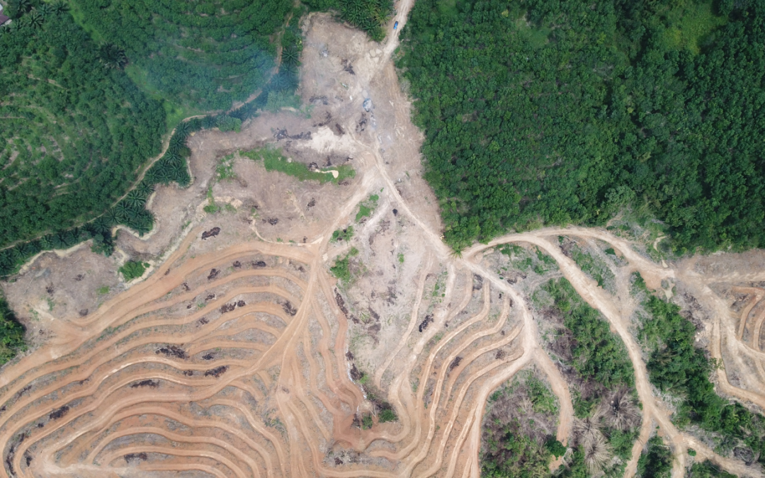
EUDR compliance is a reality to which companies in different sectors must adapt quickly.   Monitoring supply chains to ensure they are free of deforestation is becoming increasingly critical for businesses, especially with the European Union Deforestation...

Recent Posts

  • Imageryst recibe apoyo de SEKUENS para el desarrollo de un sistema de geolocalización en su plataforma
  • How the right location reduces construction and maintenance costs for wind farms
  • 10 keys to site selection for solar parks
  • Investing in talent, driving innovation: Imageryst receives support from the Investigo program
  • Energy sector leaders you should be following

Recent Comments

No comments to show.