• Solutions
    • Top use cases
  • Product
    • Platform & API
    • Data Catalog
  • Partners
  • About us
  • Academy
  • Blog
LOG IN
Request demo
  • Solutions
    • Top use cases
  • Product
    • Platform & API
    • Data Catalog
  • Partners
  • About us
  • Academy
  • Blog
How Satellite Imagery Helps Ensure EUDR Compliance

How Satellite Imagery Helps Ensure EUDR Compliance

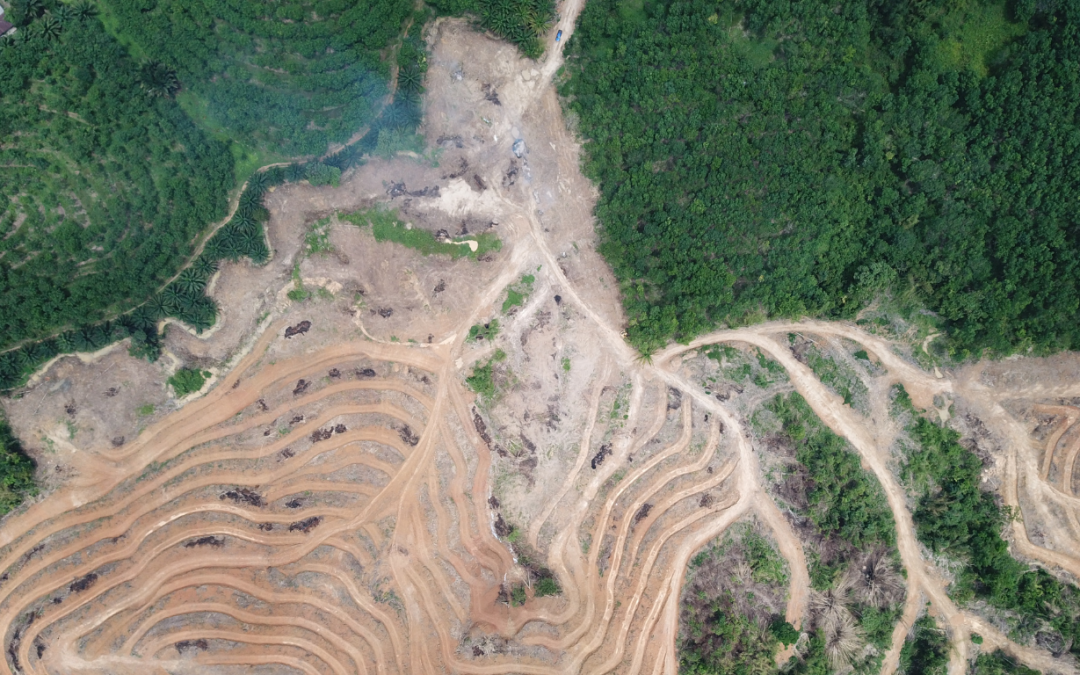
por Yeli Peña | Oct 21, 2024 | Imageryst, Natural resources, Regulations

EUDR compliance is a reality to which companies in different sectors must adapt quickly.   Monitoring supply chains to ensure they are free of deforestation is becoming increasingly critical for businesses, especially with the European Union Deforestation...
How to monitor deforestation and meet compliance with EU regulations

How to monitor deforestation and meet compliance with EU regulations

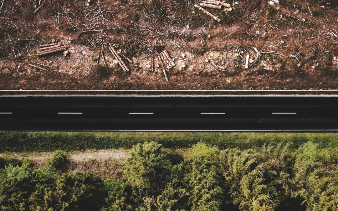
por Yeli Peña | Sep 2, 2024 | Natural resources

As the end of 2024 approaches, the clock is ticking for businesses to comply with the new European Union Deforestation Regulation (EUDR). This regulation, set to take effect in just four months, aims to combat global deforestation and forest degradation by ensuring...
CO2 monitoring using high-resolution satellite images

CO2 monitoring using high-resolution satellite images

por Ángela | Ene 23, 2023 | Earth Observation, Natural resources

The main battle for the future of the planet is being fought in the atmosphere. It is not science fiction, but a palpable reality if we think about the effects of climate change that we are already suffering. To be victorious, we need resources for CO2 monitoring. For...
How Satellite Imagery and Earth Observational Data are changing the Agricultural Game

How Satellite Imagery and Earth Observational Data are changing the Agricultural Game

por Ángela | Jun 16, 2022 | Natural resources

Earth Observation (EO) and geospatial data have brought many benefits to agriculture. But what is fascinating is how satellites and government initiatives, such as the European Copernicus program, a program formed by the European Space Agency (ESA), have...

Recent Posts

  • Investing in talent, driving innovation: Imageryst receives support from the Investigo program
  • Energy sector leaders you should be following
  • How satellite data supports energy decarbonization
  • Our experience at Pulse 2025: innovation, visibility, and connection for the future of renewables
  • How to optimize environmental impact assessment in site selection for energy projects

Recent Comments

No hay comentarios que mostrar.

Ready to transform your business? 

Request now a demonstration of our software and its different applications.

Request a demo!
Analyze and monitor your assets from above
  • Seguir
  • Seguir
  • Seguir

Useful links

Platform & API
Industries
Top Use Cases
Partners

Other links

About us
Blog
Press

Contact us

Contact us if you need any help or have a question about our services

Contact

Copyright © 2024 IMAGERYST

Legal notice   |   Privacy Policy   |  Cookies policy